Jamshedpur:
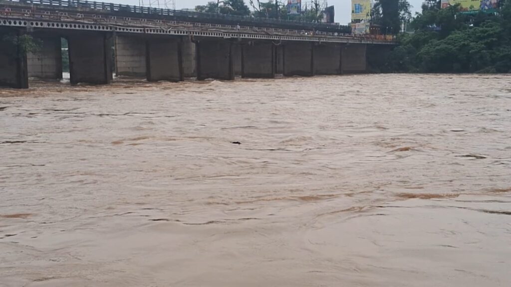
Heavy rainfall over the past few days has created flood-like conditions in East Singhbhum district. However, there is now some relief in sight, as the water levels of the two major rivers—Subarnarekha and Kharkai—have begun to show divergent trends.

According to the latest data released by the district administration on Sunday, the water level of Subarnarekha River has receded below the danger mark, while Kharkai River continues to flow well above the danger level, posing a threat to the low-lying areas of the district.
At the Mango bridge location, the Subarnarekha is currently flowing at 120.66 meters, compared to its danger mark of 121.50 meters, which means the river is now approximately 0.84 meters below the danger level—a significant relief as it was nearing the danger point just days ago.
However, the situation remains critical at the Adityapur bridge, where Kharkai River is flowing at 132.79 meters, well above its danger mark of 129.00 meters. This indicates a dangerous 3.79-meter excess, raising concerns for riverbank settlements and flood-prone neighborhoods.
Administration on High Alert
The district administration has confirmed that round-the-clock monitoring is underway, and disaster response teams have been deployed in vulnerable regions. NDRF (National Disaster Response Force) teams are stationed in critical areas to carry out rescue and relief operations if required.
Authorities have urged residents, especially those in low-lying and riverbank areas, to remain vigilant, avoid panic or rumors, and to immediately report any emergency to the administration. Relief camps and evacuation measures are on standby, and all departments are working in coordination.
Key Points:
Subarnarekha River now below danger mark by 0.84 meters
Kharkai River still 3.79 meters above danger level
Continuous monitoring and NDRF deployment in place
Residents advised to stay alert and follow safety instructions
If needed, I can also prepare a TV/radio news script or bulletin format for this report.


